Portfolio item number 1
Short description of portfolio item number 1


Land-atmosphere interactions are central to the evolution of the atmospheric boundary layer and the subsequent formation of clouds and precipitation. Existing global climate models represent these connections with bulk approximations on coarse spatial scales, but observations suggest that small-scale variations in surface characteristics and co-located turbulent and momentum fluxes can …
This work focuses on understanding to what degree the remote sensing tool of Interferometric Synthetic Aperture Radar (InSAR) can be used to track sub-surface ground motion in deep-seated landslides. We also consider the uncertainties that may arise out of using a remote sensing tool to track ground motion, as opposed to traditional …
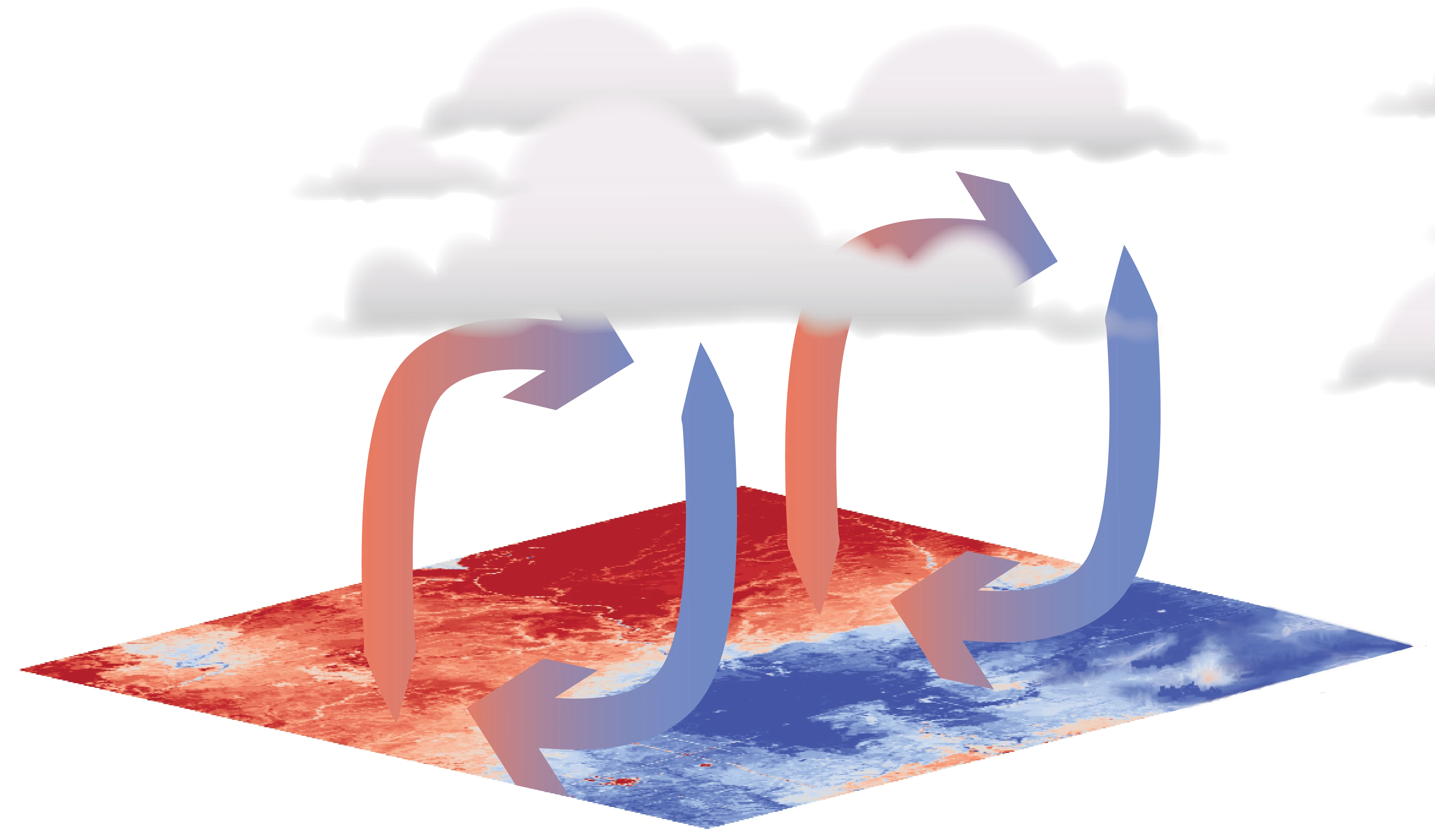
Earth system models currently struggle to account for the complex effects that land surface heterogeneity can have on land‐atmosphere interactions. There have been attempts to include the impact of this heterogeneity on the atmosphere, but they ignore the development of coherent circulations that can be driven by spatial differential surface …
Surface fluxes and states can recur and remain consistent across various spatial and temporal scales, forming space‐time patterns. Quantifying and understanding the observed patterns is desirable, as they provide information about the dynamics of the processes involved. This study introduces the empirical spatiotemporal covariance function and a corresponding parametric covariance …
Monitoring deep-seated landslides via borehole instrumentation can be an expensive and labor-intensive task. This work focuses on assessing the fidelity of interferometric synthetic-aperture radar (InSAR) as it relates to sub-surface ground motion monitoring, as well as understanding uncertainty in modeling active landslide displacement for the case study of the in …
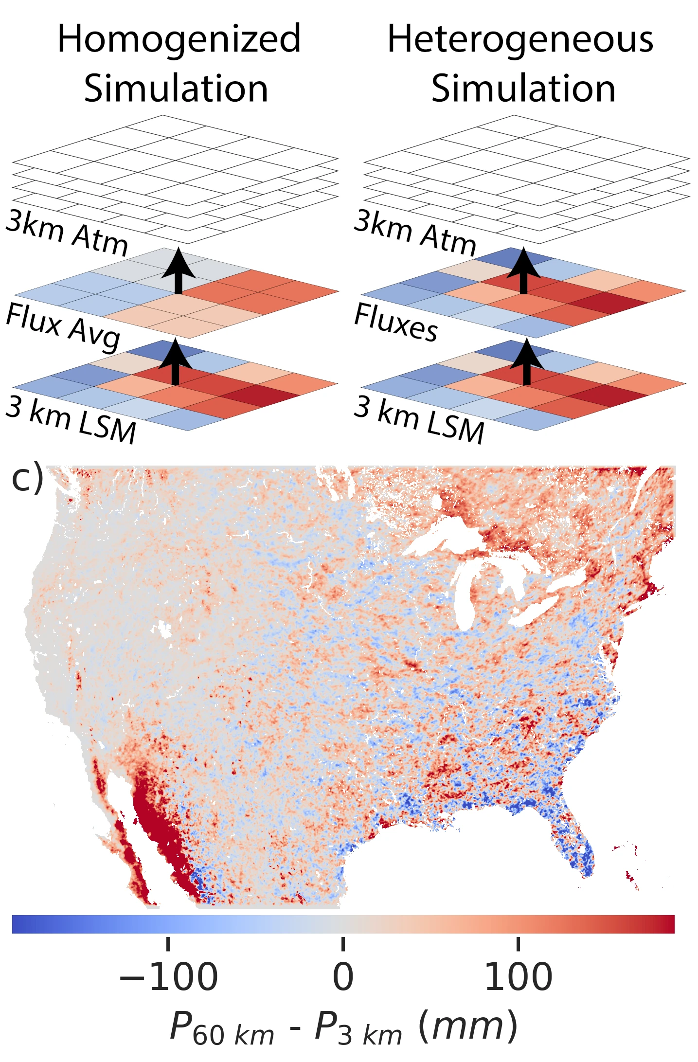
In large-scale Earth system models (ESMs) used to study climate processes, surface heterogeneity that is subgrid to the larger atmospheric grid is often represented by a number of land tiles, effectively providing a higher resolution land surface to a coarser resolution overlying atmosphere. ESMs, however, average the surface fluxes before they are communicated to the atmosphere. In this study, we examine the impact of this flux averaging through 257 two-day summer WRF simulations
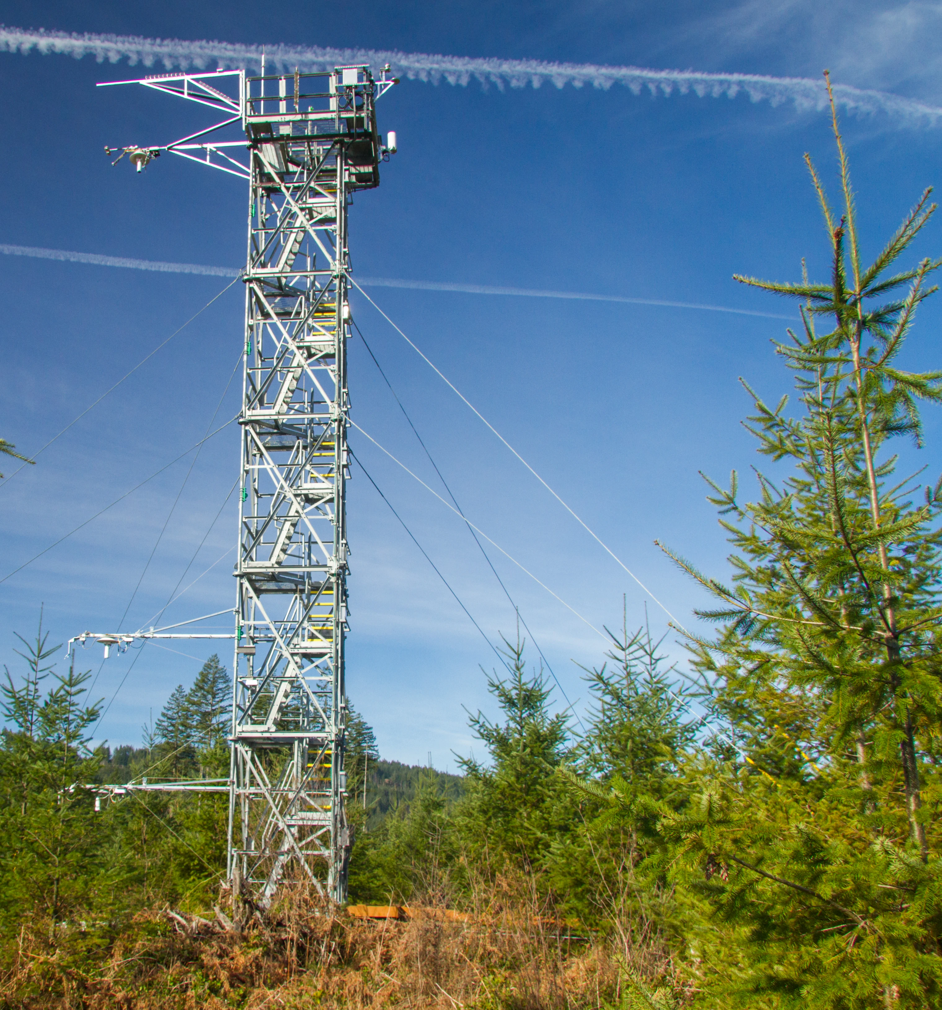
Monin–Obukhov similarity theory (MOST) has long served as the basis for parameterizations of turbulence exchange between the surface and the atmospheric boundary layer in models for weather and climate prediction. Decades of research, however, have illuminated some of the limitations of MOST-based surface-layer parameterizations … in this work, we examine the performance of a new, anisotropy-generalized MOST scaling across 7 years of data at the 47 towers in the National Ecological Observation Network
Monin–Obukhov Similarity Theory (MOST), the traditional surface layer theory used to understand the behavior, scaling and exchange of heat, water vapor and carbon dioxide between the land surface and atmosphere, relies on a number of commonly broken assumptions. In particular, traditional theory breaks down under three different forms of heterogeneity …
Observational constraints and modeling limitations have hindered comprehensive understanding and model parameterization of heterogeneity driven flow. This study introduces a framework combining satellite remote sensing and Doppler LiDAR to quantify heterogeneity-driven mesoscale flows in the atmospheric boundary layer.
Published:
Published:
Undergraduate course, University of California -- Berkeley, Department of Civil and Environmental Engineering, 2018
Graduate Level Course, Duke University, Department of Civil and Environmental Engineering, 2021
Undergraduate Level Course, Duke University, Department of Civil and Environmental Engineering, 2022